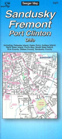
Sandusky, Fremont and Port Clinton, Ohio by The Seeger Map Company Inc.
Map of Sandusky, Fremont and Port Clinton including Catawba Island, Cedar Point, Kelleys Island, North Bass Island, Put-In-Bay, South Bass Island, Eerie County, Ottawa County and Sandusky County with legend. Street and places of interest index accompanies all maps.
- Product Number: 2068637M
- Product Code: SM_SANDUSKY_OH
- ISBN: 731003332002
- Year of Publication: 2010
- Folded Size: 9.06 x 3.94 inches
- Unfolded Size: 24.02 x 39.37 inches
- Map type: Folded Map
- Geographical region: Ohio


