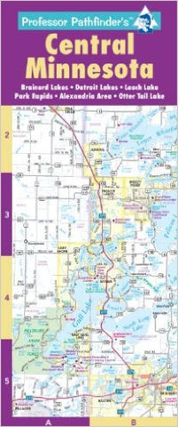
Central Minnesota by Hedberg Maps
This map is an essential tool to navigate Minnesotas outdoor playground! A regional map stretching from Fargo to the Iron Range to St Cloud helps you beat those long traffic jams on the way to the cabin. The heart of the map is the detailed maps of: (1) the Brainerd Lakes and Whitefish Chain, (2) the Woman Lake Chain, southern Leech Lake and Park Rapids areas, (3) the Detroit Lakes and Ottertail Lake area, and (4) the Alexandria/Osakis area. Also includes a complete lakes index and details of Brainerd/Baxter and Little Falls. Features major resorts, attractions, boat launches and of course golf courses. Six-panel accordion fold for easy open/close. Printed on card stock and UV Coated for added Durability.
- Product Number: 2060861M
- Product Code: HED_PP_MN_CEN
- ISBN: 9781593530457
- Year of Publication: 2010
- Folded Size: 10.24 x 4.33 inches
- Unfolded Size: 9.45 x 14.57 inches
- Map type: Folded Map
- Geographical region: Minnesota


