
Spitsbergen, Svalbard Archipelago Explorer Map by Ocean Explorer Maps
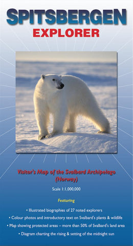
This map covers the famous Arctic archipelago (named Spitsbergen when discovered by the Dutch in 1596, but now more commonly referred to as Svalbard - the Viking word for cold coast). On one side there is a clear and uncluttered map of the archipelago, with useful annotations; on the reverse there are excellent biographical summaries of 27 noted explorers (including Horatio Nelson who came here as a 14 year old midshipman!) plus brief descriptions and colour photographs of the more common plants, invertebrates, birds and mammals.
- Product Number: 2046169M
- Product Code: OE_SPITSBERGE
- ISBN: 9780953861811
- Year of Publication: 2010
- Folded Size: 9.06 x 5.12 inches
- Unfolded Size: 17.32 x 24.02 inches
- Map type: Folded Map
- Geographical region: Norway


