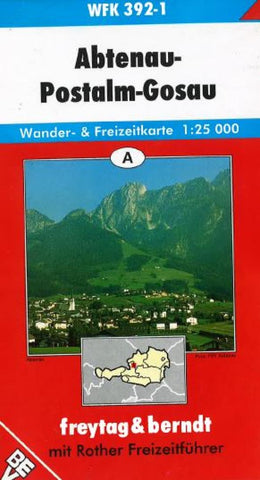
Abtenau, Postalm and Gosau, WFK 392-1 by Freytag-Berndt und Artaria
One in a series of detailed outdoor recreation maps with contours at 20-meter intervals and shaded-relief. An overprint highlights hiking paths, cycling routes and, on some of the titles, ski routes. The map also highlights youth hostels, campsites, mountain huts and natural and cultural information. Map legend in German, English, French and Italian. Comes with a separate booklet, in German only, containing information on places of interest, brief descriptions of selected hiking trails, and addresses of various accommodation facilities.
Coverage includes Gosaukamm, Seebach, Weissenbach, and Bleikogel.
- Product Number: 2031971M
- Product Code: FB_WFK_392_1
- ISBN: 9783850845038
- Year of Publication: 1996
- Folded Size: 8.27 x 4.72 inches
- Unfolded Size: 30.31 x 40.55 inches
- Map type: Folded Map
- Geographical region: Austria

