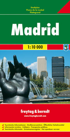
Madrid, Spain by Freytag-Berndt und Artaria
Explore Madrid with this Freytag & Berndt street map. The best way to plan your trip, prepare your itinerary, and to travel independently in the Spanish capital.
The map covers the city from Parque Enrique Tierno Galvan in the south to Valverde in the north, and from the university in the west to Hortaleza in the east. Tourist information and places of interest are clearly marked by a range of icons, including: pedestrian zones, metro and railway lines & stations, public buildings, parks, industrial areas, theatres, museums, hospitals, monuments, places of worship, tourist information offices, car parks and post offices.
The map also includes an inset with a diagram of the metro system.
The legend is in several languages including English.
Index on reverse.
- Product Number: 2028906M
- Product Code: FB_MADRID
- ISBN: 9783707906141
- Year of Publication: 2008
- Folded Size: 10.24 x 5.12 inches
- Unfolded Size: 48.03 x 36.22 inches
- Map type: Folded Map
- Geographical region: Spain


