
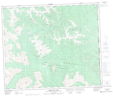
093I08 Belcourt Lake Canada topo map, 1:50,000 scale
093I08 Belcourt Lake NRCAN topographic map.
Includes UTM and GPS geographic coordinates (latitude and longitude). This 50k scale map is suitable for hiking, camping, and exploring, or you could frame it as a wall map.
Printed on-demand using high resolution, on heavy weight and acid free paper, or as an upgrade on a variety of synthetic materials.
Topos available on paper, Waterproof, Poly, or Tyvek. Usually shipping rolled, unless combined with other folded maps in one order.
- Product Number: NRCAN-093I08
- Parent Topo: TOPO-093I
- Map ID also known as: 093I08, 93I8, 93I08
- Unfolded Size: Approximately 26" high by 36" wide
- Weight (paper map): ca. 55 grams
- Map Type: POD NRCAN Topographic Map
- Map Scale: 1:50,000
- Geographical region: Alberta, Canada
Neighboring Maps:
All neighboring Canadian topo maps are available for sale online at 1:50,000 scale.
Purchase the smaller scale map covering this area: Topo-093I
Spatial coverage:
Topo map sheet 093I08 Belcourt Lake covers the following places:
- Belcourt Lake - Compass Hill - Dinosaur Ridge - Meosin Mountain - Mokasis Mountain - Montagnes Rocheuses - Mount Belcourt - Mount Hamelin - Muinok Mountain - Nekik Mountain - Omega Hill - Picture Mountain - Ptarmigan Mountain - Rocky Mountain Foothills - Rocky Mountains - Saxon Ridge - Secus Mountain - Peace River Regional District - Belcourt Creek - Flume Creek - Hanington Creek - Holtslander Creek - Huguenot Creek - Narraway River - Saxon Creek - Torrens River - Wapiti River - Winfrey Creek


