
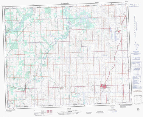
082O16 Olds Canada topo map, 1:50,000 scale
082O16 Olds NRCAN topographic map.
Includes UTM and GPS geographic coordinates (latitude and longitude). This 50k scale map is suitable for hiking, camping, and exploring, or you could frame it as a wall map.
Printed on-demand using high resolution, on heavy weight and acid free paper, or as an upgrade on a variety of synthetic materials.
Topos available on paper, Waterproof, Poly, or Tyvek. Usually shipping rolled, unless combined with other folded maps in one order.
- Product Number: NRCAN-082O16
- Parent Topo: TOPO-082O
- Map ID also known as: 082O16, 82O16
- Unfolded Size: Approximately 26" high by 36" wide
- Weight (paper map): ca. 55 grams
- Map Type: POD NRCAN Topographic Map
- Map Scale: 1:50,000
- Geographical region: Alberta, Canada
Neighboring Maps:
All neighboring Canadian topo maps are available for sale online at 1:50,000 scale.
Purchase the smaller scale map covering this area: Topo-082O
Spatial coverage:
Topo map sheet 082O16 Olds covers the following places:
- Barrie Lake - Bloxham's Slough - Bowden Lake - Copeley Lake - Gleniffer Lake - Innis Lake - Dawson's Hill - Moore's Hill - Moose Mountain - Radford's Hill - Rice's Hill - Schrader's Hill - Clearwater County - County of Mountain View No. 17 - County of Red Deer No. 23 - Mountain View County - Municipal District of Clearwater No. 99 - Red Deer County - Red Lodge Provincial Park - Bowden Creek - Butcher Creek - Dogpound Creek - Eagle Creek - Eagle Creek - English Creek - Little Red Deer River - Lonepine Creek - Olds Creek - Pekse Creek - Red Deer River - Schrader Creek - Spring Creek - Trail Creek - White Creek - Bowden - Olds - Doan - Eagle Hill - Garrington - Harmattan - Henday - Mountain House - Murray Valley - Netook - Red Lodge - Murray Valley - Rice's Coulee


