
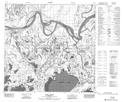
074L13 Baril River Canada topo map, 1:50,000 scale
074L13 Baril River NRCAN topographic map.
Includes UTM and GPS geographic coordinates (latitude and longitude). This 50k scale map is suitable for hiking, camping, and exploring, or you could frame it as a wall map.
Printed on-demand using high resolution, on heavy weight and acid free paper, or as an upgrade on a variety of synthetic materials.
Topos available on paper, Waterproof, Poly, or Tyvek. Usually shipping rolled, unless combined with other folded maps in one order.
- Product Number: NRCAN-074L13
- Parent Topo: TOPO-074L
- Map ID also known as: 074L13, 74L13
- Unfolded Size: Approximately 26" high by 36" wide
- Weight (paper map): ca. 55 grams
- Map Type: POD NRCAN Topographic Map
- Map Scale: 1:50,000
- Geographical region: Alberta, Canada
Neighboring Maps:
All neighboring Canadian topo maps are available for sale online at 1:50,000 scale.
Purchase the smaller scale map covering this area: Topo-074L
Spatial coverage:
Topo map sheet 074L13 Baril River covers the following places:
- Peace-Athabasca Delta - Rocky Point - Chenal des Quatre Fourches - Revillon Coupé - Scow Channel - Moose Island - Sawmill Island - Baril Lake - Four Forks Lake - Horseshoe Slough - Jimmys Slough - Lake Claire - Improvement District No. 24 - Parc national du Canada Wood Buffalo - Wood Buffalo National Park of Canada - Baril River - Claire River - Murdock Creek - Peace River - Rivière de la Paix - Rosebush Creek - Carlson Landing - Sweetgrass Landing


