
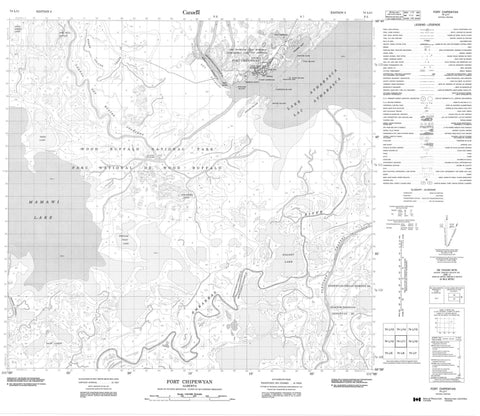
074L11 Fort Chipewyan Canada topo map, 1:50,000 scale
074L11 Fort Chipewyan NRCAN topographic map.
Includes UTM and GPS geographic coordinates (latitude and longitude). This 50k scale map is suitable for hiking, camping, and exploring, or you could frame it as a wall map.
Printed on-demand using high resolution, on heavy weight and acid free paper, or as an upgrade on a variety of synthetic materials.
Topos available on paper, Waterproof, Poly, or Tyvek. Usually shipping rolled, unless combined with other folded maps in one order.
- Product Number: NRCAN-074L11
- Parent Topo: TOPO-074L
- Map ID also known as: 074L11, 74L11
- Unfolded Size: Approximately 26" high by 36" wide
- Weight (paper map): ca. 55 grams
- Map Type: POD NRCAN Topographic Map
- Map Scale: 1:50,000
- Geographical region: Alberta, Canada
Neighboring Maps:
All neighboring Canadian topo maps are available for sale online at 1:50,000 scale.
Purchase the smaller scale map covering this area: Topo-074L
Spatial coverage:
Topo map sheet 074L11 Fort Chipewyan covers the following places:
- Fraser Bay - Dog Head - Grouse Cape - Mission Point - Peace-Athabasca Delta - Chenal des Quatre Fourches - Fletcher Channel - Dog Head 218 - English Island - High Island - Lobstick Island - Mouse Island - Pine Island - Potato Island - Four Forks Lake - Galoot Lake - Jemis Lake - John Bull Slough - Lac Athabasca - Lake Athabasca - Lake Athabaska - Mamawi Lake - Pair Lakes - Popular Point Lake - Grouroches Chere - Improvement District No. 24 - Parc national du Canada Wood Buffalo - Wood Buffalo National Park of Canada - Athabasca River - Athabaska River - Embarras River - Fletcher River - Horse Island Creek - Mamawi Creek - Rivière Athabasca - Rivière des Rochers - Fort Chipewyan - Quatre Fourches


