
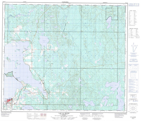
073L13 Lac La Biche Canada topo map, 1:50,000 scale
073L13 Lac La Biche NRCAN topographic map.
Includes UTM and GPS geographic coordinates (latitude and longitude). This 50k scale map is suitable for hiking, camping, and exploring, or you could frame it as a wall map.
Printed on-demand using high resolution, on heavy weight and acid free paper, or as an upgrade on a variety of synthetic materials.
Topos available on paper, Waterproof, Poly, or Tyvek. Usually shipping rolled, unless combined with other folded maps in one order.
- Product Number: NRCAN-073L13
- Parent Topo: TOPO-073L
- Map ID also known as: 073L13, 73L13
- Unfolded Size: Approximately 26" high by 36" wide
- Weight (paper map): ca. 55 grams
- Map Type: POD NRCAN Topographic Map
- Map Scale: 1:50,000
- Geographical region: Alberta, Canada
Neighboring Maps:
All neighboring Canadian topo maps are available for sale online at 1:50,000 scale.
Purchase the smaller scale map covering this area: Topo-073L
Spatial coverage:
Topo map sheet 073L13 Lac La Biche covers the following places:
- Heart Lake 167 - Big Island - Birch Island - Currant Island - Long Island - Pelican Island - Red Fox Island - Beaver Lake - Birkland Lake - Blackbird Lake - Cache Lake - Claude Lake - Francis Lake - Heart Lake - Jackson Lake - Kinnaird Lake - Lac la Biche - Leicester Lake - Lynx Lake - McGuffin Lake - Mill Lake - Savouye Lake - Shaw Lake - Square Lake - Tepee Lake - Toodles Lake - Lakeland County - Municipal District of Bonnyville No. 87 - Lakeland Provincial Park - Sir Winston Churchill Provincial Park - Gull Creek - Owl River - Piché River - Square Creek - Lac La Biche - Barnegat - Beaver Lake - Imperial Mills - Owl River - Tweedie


