
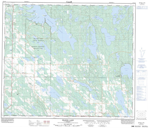
073L12 Beaver Lake Canada topo map, 1:50,000 scale
073L12 Beaver Lake NRCAN topographic map.
Includes UTM and GPS geographic coordinates (latitude and longitude). This 50k scale map is suitable for hiking, camping, and exploring, or you could frame it as a wall map.
Printed on-demand using high resolution, on heavy weight and acid free paper, or as an upgrade on a variety of synthetic materials.
Topos available on paper, Waterproof, Poly, or Tyvek. Usually shipping rolled, unless combined with other folded maps in one order.
- Product Number: NRCAN-073L12
- Parent Topo: TOPO-073L
- Map ID also known as: 073L12, 73L12
- Unfolded Size: Approximately 26" high by 36" wide
- Weight (paper map): ca. 55 grams
- Map Type: POD NRCAN Topographic Map
- Map Scale: 1:50,000
- Geographical region: Alberta, Canada
Neighboring Maps:
All neighboring Canadian topo maps are available for sale online at 1:50,000 scale.
Purchase the smaller scale map covering this area: Topo-073L
Spatial coverage:
Topo map sheet 073L12 Beaver Lake covers the following places:
- Beaver Lake 131 - Old Canoe Island - Spruce Island - Bat Lake - Beaver Lake - Blackett Lake - Brayet Lake - Brown Lake - Cardinal Lake - Cross Lake - Desmaw Lake - Doré Lake - Election Lake - Elinor Lake - Field Lake - Fork Lake - Grandeur Lake - Hamlin Lake - Helena Lake - Honey Lake - Horne Lake - Huppie Lake - Ironwood Lake - Jeremie Lake - Kinnaird Lake - Konah Lake - Lac Lacroix - Matthews Lake - Matthews Lake - Maurice Lake - McBernie Lake - Mellstrom Lake - Munro Lake - Nadeau Lake - Normandeau Lake - Olympic Lake - Outlet Lake - Outline Lake - Pruden Lake - Rich Lake - Roseland Lake - Spankie Lake - Tent Lake - Trail Lake - Trap Lake - Zeer Lake - Lakeland County - Municipal District of Bonnyville No. 87 - Lakeland Provincial Park - Beaver River - Craigend - Goose Lake - Grandin - Normandeau - Rich Lake


