
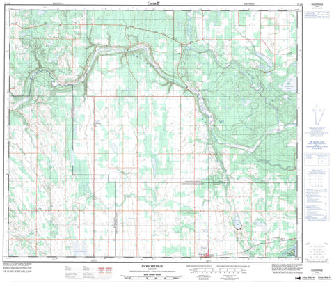
073L06 Goodridge Canada topo map, 1:50,000 scale
073L06 Goodridge NRCAN topographic map.
Includes UTM and GPS geographic coordinates (latitude and longitude). This 50k scale map is suitable for hiking, camping, and exploring, or you could frame it as a wall map.
Printed on-demand using high resolution, on heavy weight and acid free paper, or as an upgrade on a variety of synthetic materials.
Topos available on paper, Waterproof, Poly, or Tyvek. Usually shipping rolled, unless combined with other folded maps in one order.
- Product Number: NRCAN-073L06
- Parent Topo: TOPO-073L
- Map ID also known as: 073L06, 73L6, 73L06
- Unfolded Size: Approximately 26" high by 36" wide
- Weight (paper map): ca. 55 grams
- Map Type: POD NRCAN Topographic Map
- Map Scale: 1:50,000
- Geographical region: Alberta, Canada
Neighboring Maps:
All neighboring Canadian topo maps are available for sale online at 1:50,000 scale.
Purchase the smaller scale map covering this area: Topo-073L
Spatial coverage:
Topo map sheet 073L06 Goodridge covers the following places:
- Grassy Island Lake - Minnie Lake - Moose Lake - Stebbing Lake - Jolie Butte - County of St. Paul No. 19 - Lakeland County - Municipal District of Bonnyville No. 87 - Municipal District of Bonnyville No. 87 - Beaver River - Columbine Creek - Fork Creek - Mooselake River - Sand River - St. Lina Creek - Thinlake River - Bordenave - Franchere - Goodridge - Helina - Maloy - Monogram - Sandy Rapids - St. Lina - Truman - Glendon


