
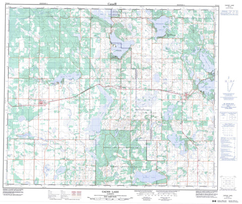
073L04 Cache Lake Canada topo map, 1:50,000 scale
073L04 Cache Lake NRCAN topographic map.
Includes UTM and GPS geographic coordinates (latitude and longitude). This 50k scale map is suitable for hiking, camping, and exploring, or you could frame it as a wall map.
Printed on-demand using high resolution, on heavy weight and acid free paper, or as an upgrade on a variety of synthetic materials.
Topos available on paper, Waterproof, Poly, or Tyvek. Usually shipping rolled, unless combined with other folded maps in one order.
- Product Number: NRCAN-073L04
- Parent Topo: TOPO-073L
- Map ID also known as: 073L04, 73L4, 73L04
- Unfolded Size: Approximately 26" high by 36" wide
- Weight (paper map): ca. 55 grams
- Map Type: POD NRCAN Topographic Map
- Map Scale: 1:50,000
- Geographical region: Alberta, Canada
Neighboring Maps:
All neighboring Canadian topo maps are available for sale online at 1:50,000 scale.
Purchase the smaller scale map covering this area: Topo-073L
Spatial coverage:
Topo map sheet 073L04 Cache Lake covers the following places:
- Saddle Lake 125 - WhiteFish Lake 128 - Batty Lake - Bonnie Lake - Cache Lake - Carey Lake - Carroll Lakes - Chappell Lake - Floatingstone Lake - Garner Lake - Greenstreet Lake - Hamilton Lake - Little Garner Lake - Lottie Lake - Lower Mann Lake - McCullough Lake - Peleck Lakes - Reed Lake - Saddle Lake - Sherritt Lake - Smith Lake - Upper Mann Lake - Whitby Lake - County of Smoky Lake No. 13 - County of St. Paul No. 19 - Smoky Lake County - Garner Lake Provincial Park - Cache Creek - Cardinal Creek - Redclay Creek - Saddlelake Creek - Stony Creek - Anning - Ashmont - Boyne Lake - Spedden - Stry - Two Lakes - Speddin - Vilna


