
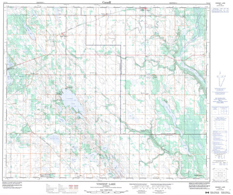
073L03 Vincent Lake Canada topo map, 1:50,000 scale
073L03 Vincent Lake NRCAN topographic map.
Includes UTM and GPS geographic coordinates (latitude and longitude). This 50k scale map is suitable for hiking, camping, and exploring, or you could frame it as a wall map.
Printed on-demand using high resolution, on heavy weight and acid free paper, or as an upgrade on a variety of synthetic materials.
Topos available on paper, Waterproof, Poly, or Tyvek. Usually shipping rolled, unless combined with other folded maps in one order.
- Product Number: NRCAN-073L03
- Parent Topo: TOPO-073L
- Map ID also known as: 073L03, 73L3, 73L03
- Unfolded Size: Approximately 26" high by 36" wide
- Weight (paper map): ca. 55 grams
- Map Type: POD NRCAN Topographic Map
- Map Scale: 1:50,000
- Geographical region: Alberta, Canada
Neighboring Maps:
All neighboring Canadian topo maps are available for sale online at 1:50,000 scale.
Purchase the smaller scale map covering this area: Topo-073L
Spatial coverage:
Topo map sheet 073L03 Vincent Lake covers the following places:
- Allday Lake - Bangs Lake - Bentley Lake - Boucan Lake - Breland Lake - Cardinal Lake - Chickenhill Lake - Denning Lake - Drysdale Lake - Felix Lake - Flat Lake - Grassy Island Lake - Hornpile Lake - Julien Lake - Lower Mann Lake - Montagnais Lake - Moose Lake - Owlseye Lake - Snail Lake - Thin Lake - Upper Mann Lake - Vincent Lake - Whiskyjack Lake - Worry Lake - Moose Hills - County of St. Paul No. 19 - Municipal District of Bonnyville No. 87 - Blue Quills National Wildlife Area - Réserve nationale de faune de Blue Quills - Atimoswe Creek - Columbine Creek - Dog Rump Creek - Kehiwin Creek - Thinlake River - Yelling Creek - Abilene - Beacon Corner - Boscombe - Flat Lake - Mallaig - Owlseye - Owlseye Lake - Rife - St. Vincent - Therien - Glendon - Horseshoe Bay


