
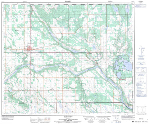
073E15 Elk Point Canada topo map, 1:50,000 scale
073E15 Elk Point NRCAN topographic map.
Includes UTM and GPS geographic coordinates (latitude and longitude). This 50k scale map is suitable for hiking, camping, and exploring, or you could frame it as a wall map.
Printed on-demand using high resolution, on heavy weight and acid free paper, or as an upgrade on a variety of synthetic materials.
Topos available on paper, Waterproof, Poly, or Tyvek. Usually shipping rolled, unless combined with other folded maps in one order.
- Product Number: NRCAN-073E15
- Parent Topo: TOPO-073E
- Map ID also known as: 073E15, 73E15
- Unfolded Size: Approximately 26" high by 36" wide
- Weight (paper map): ca. 55 grams
- Map Type: POD NRCAN Topographic Map
- Map Scale: 1:50,000
- Geographical region: Alberta, Canada
Neighboring Maps:
All neighboring Canadian topo maps are available for sale online at 1:50,000 scale.
Purchase the smaller scale map covering this area: Topo-073E
Spatial coverage:
Topo map sheet 073E15 Elk Point covers the following places:
- Puskiakiwenin 122 - Bluet Lake - Borden Lake - Dion Lake - Gadois Lake - Garnier Lakes - Gedeon Lake - Hobden Lake - Hook Lake - Lac Dufresne - Laurier Lake - Mitchell Lake - Moosehills Lake - Simmo Lake - Whitney Lake - Moose Hills - County of St. Paul No. 19 - County of Two Hills No. 21 - County of Vermilion River No. 24 - Fort George/Buckingham House Provincial Historic Site (Undeveloped) - Whitney Lakes Provincial Park - Atimoswe Creek - Death River - Dog Rump Creek - Irish Creek - Middle Creek - Moosehills Creek - Mooswa Creek - North Saskatchewan River - Rivière Saskatchewan Nord - Telegraph Creek - Elk Point - Angle Lake - Ferguson Flats - Gratz - Heinsburg - Lindbergh - Middle Creek - Mooswa - Muriel - Northern Valley - Peat - Primrose - Primula - Riverview - Springpark


