
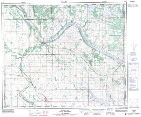
073E09 Marwayne Canada topo map, 1:50,000 scale
073E09 Marwayne NRCAN topographic map.
Includes UTM and GPS geographic coordinates (latitude and longitude). This 50k scale map is suitable for hiking, camping, and exploring, or you could frame it as a wall map.
Printed on-demand using high resolution, on heavy weight and acid free paper, or as an upgrade on a variety of synthetic materials.
Topos available on paper, Waterproof, Poly, or Tyvek. Usually shipping rolled, unless combined with other folded maps in one order.
- Product Number: NRCAN-073E09
- Parent Topo: TOPO-073E
- Map ID also known as: 073E09, 73E9, 73E09
- Unfolded Size: Approximately 26" high by 36" wide
- Weight (paper map): ca. 55 grams
- Map Type: POD NRCAN Topographic Map
- Map Scale: 1:50,000
- Geographical region: Alberta, Canada
Neighboring Maps:
All neighboring Canadian topo maps are available for sale online at 1:50,000 scale.
Purchase the smaller scale map covering this area: Topo-073E
Spatial coverage:
Topo map sheet 073E09 Marwayne covers the following places:
- Makaoo 120 - Makaoo 120 - Cabin Lake - Chester Lake - End Lake - Garson Lake - John Lake - Lac Patenaude - Pasatchaw Lakes - Reed Lake - Tulabi Lake - Two Hills Lake - County of Vermilion River No. 24 - Britannia No. 502 - Frenchman Butte No. 501 - Fort Vermilion (Paint Creek House) Provincial Historic Site (Undeveloped) - Alberta - Irish Creek - Marwayne Creek - North Saskatchewan River - North Saskatchewan River - Rivière Saskatchewan Nord - Rivière Saskatchewan Nord - Vermilion River - Alcurve - Hazeldine - Irwinville - Lea Park - Leighton - Onion Lake - Riverton - South Ferriby - Tring - Tulliby Lake - Marwayne


