
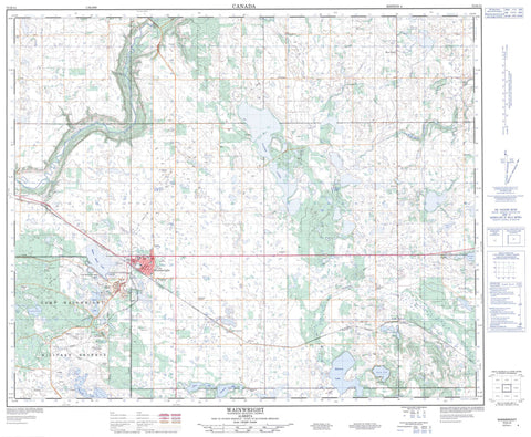
073D15 Wainwright Canada topo map, 1:50,000 scale
073D15 Wainwright NRCAN topographic map.
Includes UTM and GPS geographic coordinates (latitude and longitude). This 50k scale map is suitable for hiking, camping, and exploring, or you could frame it as a wall map.
Printed on-demand using high resolution, on heavy weight and acid free paper, or as an upgrade on a variety of synthetic materials.
Topos available on paper, Waterproof, Poly, or Tyvek. Usually shipping rolled, unless combined with other folded maps in one order.
- Product Number: NRCAN-073D15
- Parent Topo: TOPO-073D
- Map ID also known as: 073D15, 73D15
- Unfolded Size: Approximately 26" high by 36" wide
- Weight (paper map): ca. 55 grams
- Map Type: POD NRCAN Topographic Map
- Map Scale: 1:50,000
- Geographical region: Alberta, Canada
Neighboring Maps:
All neighboring Canadian topo maps are available for sale online at 1:50,000 scale.
Purchase the smaller scale map covering this area: Topo-073D
Spatial coverage:
Topo map sheet 073D15 Wainwright covers the following places:
- Arm Lake - Barnes Lake - Battensby Lake - Baxter Lakes - Bushy Head Lake - Clear Lake - Crossing Lake - Dymott Lake - Greasy Lake - Jamieson Lake - Lemp Lake - Mott Lake - Mushroom Lake - Parsons Lake - Peterson Pond - Rainy Lake - Ribstone Lake - Sandy Lake - St. Patrick Lakes - Stevenson Lake - Champ de manoeuvre régional Wainwright - Wainwright Regional Training Area - Badger Hill - POW Hill - Municipal District of Wainwright No. 61 - Battle River - Ribstone Creek - Cattalo Trail - Hardisty Trail - Wainwright - Denwood - Fabyan - Gilt Edge - Greenshields - Heath - Hope Valley


