
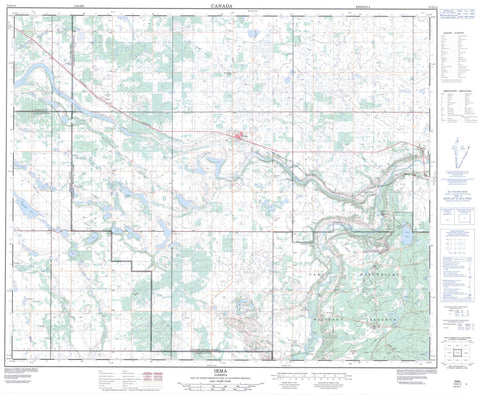
073D14 Irma Canada topo map, 1:50,000 scale
073D14 Irma NRCAN topographic map.
Includes UTM and GPS geographic coordinates (latitude and longitude). This 50k scale map is suitable for hiking, camping, and exploring, or you could frame it as a wall map.
Printed on-demand using high resolution, on heavy weight and acid free paper, or as an upgrade on a variety of synthetic materials.
Topos available on paper, Waterproof, Poly, or Tyvek. Usually shipping rolled, unless combined with other folded maps in one order.
- Product Number: NRCAN-073D14
- Parent Topo: TOPO-073D
- Map ID also known as: 073D14, 73D14
- Unfolded Size: Approximately 26" high by 36" wide
- Weight (paper map): ca. 55 grams
- Map Type: POD NRCAN Topographic Map
- Map Scale: 1:50,000
- Geographical region: Alberta, Canada
Neighboring Maps:
All neighboring Canadian topo maps are available for sale online at 1:50,000 scale.
Purchase the smaller scale map covering this area: Topo-073D
Spatial coverage:
Topo map sheet 073D14 Irma covers the following places:
- Betty Lake - Buffalo Lake - Delusion Lakes - Grassy Lake - Hart Lake - Peninsula Lake - Sandy Lake - Vernon Lake - Champ de manoeuvre régional Wainwright - Wainwright Regional Training Area - Armstrong Hill - Arty Hill - Coyote Hill - Hart Hill - Tower Hill - Wolf Ears Hill - Beaver County - County of Beaver No. 9 - County of Flagstaff No. 29 - Flagstaff County - Municipal District of Wainwright No. 61 - Battle River - Grattan Creek - Iron Creek - Hanson Ford - Saville Ford - Garry Trail - Hardisty Trail - Armstrong Spring - Clark Manor - Hawkins - Jarrow - Rocky Ford - Saville Farm - Irma


