
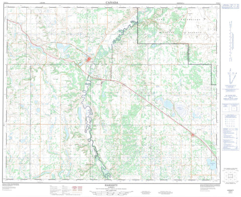
073D11 Hardisty Canada topo map, 1:50,000 scale
073D11 Hardisty NRCAN topographic map.
Includes UTM and GPS geographic coordinates (latitude and longitude). This 50k scale map is suitable for hiking, camping, and exploring, or you could frame it as a wall map.
Printed on-demand using high resolution, on heavy weight and acid free paper, or as an upgrade on a variety of synthetic materials.
Topos available on paper, Waterproof, Poly, or Tyvek. Usually shipping rolled, unless combined with other folded maps in one order.
- Product Number: NRCAN-073D11
- Parent Topo: TOPO-073D
- Map ID also known as: 073D11, 73D11
- Unfolded Size: Approximately 26" high by 36" wide
- Weight (paper map): ca. 55 grams
- Map Type: POD NRCAN Topographic Map
- Map Scale: 1:50,000
- Geographical region: Alberta, Canada
Neighboring Maps:
All neighboring Canadian topo maps are available for sale online at 1:50,000 scale.
Purchase the smaller scale map covering this area: Topo-073D
Spatial coverage:
Topo map sheet 073D11 Hardisty covers the following places:
- Fish Lake - Flag Lake - Grass Lake - Hughenden Lake - Wilkins Lake - Champ de manoeuvre régional Wainwright - Wainwright Regional Training Area - Archie Hill - Arty Hill - Battle Butte - Bone Pile Butte - Buffalo Hill - Bushy Head Hill - Chap Hill - Crude Hill - Curly Hill - Elk Butte - Flagstaff Hill - Gun Hill - Horseshoe Hill - Rom Hill - Sapper Hill - Steep Hill - Survey Hill - Vimy Ridge - Well Hill - County of Flagstaff No. 29 - Flagstaff County - Municipal District of Provost No. 52 - Municipal District of Wainwright No. 61 - Centurion Field - Battle River - Iron Creek - McDonald Ford - Alexander Gate - Camp Spring - Channel Spring - Hardisty - Bushy Head Corner - Nilrem - Rosyth - Amisk


