
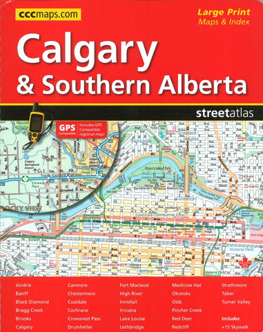
Calgary and Southern Alberta Street Atlas (Large Print) by Canadian Cartographics Corporation
Streetguide of Calgary and Southern Alberta. Features detailed street information for Southern Alberta including Calgary, Aidrie, Banff, Beiseker, Black Diamond, Bragg Creek, Brooks, Canmore, Chestermere, Coaldale, Cochrane, Crowsnest Pass, Crossfield, Drumheller, High River, Innisfail, Irricana, Lake Louise, Medicin Hat, Okotoks, Olds, Red Deer, Redwood Meadows, Strathmore, Taber and Turner Valley. Edition also features schools, hospitals and areas of interest. Improved key map, fixed page numbering system and expanded mapping for Calgary SW.
- Product Number: 2213986
- Product Code: CCC_ALB_CAL_AT
- ISBN: 9781553682349
- Year of Publication: 2016
- Unfolded Size: 11.02 x 8.66 inches
- Map type: Atlas
- Geographical region: Alberta


