
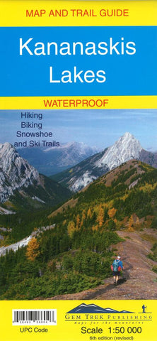
Kananaskis Lakes Map and Trail Guide (waterproof) by Gem Trek
This map covers what some say is the most scenic terrain in all of Kananaskis Country - the upper Smith-Dorrien-Spray Trail south of Mt. Shark, Peter Lougheed Provincial Park including the network of trails in the Kananaskis Lakes area, and the northern part of Elk Lakes Provincial Park.
Seven snowshoe trails have been added to this new edition, including those at Chester Lake, Hogarth Lakes, Lower Lake, Penstock, Elkwood, Sawmill and Wintour, a 5-km stretch starting at the winter gate on Highway 40. And for those of you who have been asking, the relief shading is back and the map is printed on waterproof material.
Popular day hikes covered on this map include Elbow Lake, Chester Lake, Burstall Pass, Headwall Lakes, Kananaskis Lookout, Upper Kananaskis Lake Circuit, Rawson Lake, Elk Lakes and Ptarmigan Cirque where more than 80 species of wildflowers have been identified by budding botanists.
On the back of the map are trail descriptions and photos of 16 recommended day hikes, three overnight trips and nine classic mountain bike rides, as well as six recommended trails for novice and intermediate snowshoers and two areas recommended for cross-country skiing. Also on the back is a 1:25 000-scale inset map of the immediate Kananaskis Lakes area, as well as contact information for visitor centers, campgrounds, hotels and lodges.
- Product Number: 2059527M
- Product Code: GEM_KANANASKI
- ISBN: 9781895526493
- Year of Publication: 2016
- Folded Size: 10.24 x 4.72 inches
- Unfolded Size: 25.98 x 30.71 inches
- Map type: Folded Map
- Geographical region: Alberta


