
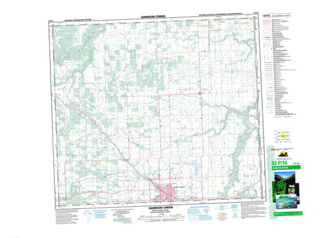
093P16 Dawson Creek Canada topo map, 1:50,000 scale
093P16 Dawson Creek NRCAN topographic map.
Includes UTM and GPS geographic coordinates (latitude and longitude). This 50k scale map is suitable for hiking, camping, and exploring, or you could frame it as a wall map.
Printed on-demand using high resolution, on heavy weight and acid free paper, or as an upgrade on a variety of synthetic materials.
Topos available on paper, Waterproof, Poly, or Tyvek. Usually shipping rolled, unless combined with other folded maps in one order.
- Product Number: NRCAN-093P16
- Parent Topo: TOPO-093P
- Map ID also known as: 093P16, 93P16
- Unfolded Size: Approximately 26" high by 36" wide
- Weight (paper map): ca. 55 grams
- Map Type: POD NRCAN Topographic Map
- Map Scale: 1:50,000
- Geographical region: Alberta, Canada
Neighboring Maps:
All neighboring Canadian topo maps are available for sale online at 1:50,000 scale.
Purchase the smaller scale map covering this area: Topo-093P
Spatial coverage:
Topo map sheet 093P16 Dawson Creek covers the following places:
- Dawson Creek - Peace River Land District - McQueen Slough - Peace River Regional District - Peace River Lowland - Alberta - British Columbia - Colombie-Britannique - Coal Creek - Coleman Creek - Dawson Creek - Doe Creek - Henderson Creek - Kiskatinaw River - McQueen Creek - Pouce Coupé River - Rolla Creek - Saskatoon Creek - Sergeant Creek - South Dawson Creek - Bessborough - Briar Ridge - Doe River - Farmington - Iracard - Kilkerran - Rolla - Seven Mile Corner - Sweetwater - Tracard - Urquhart - Valley View


