
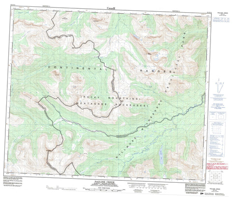
083E12 Pauline Creek Canada topo map, 1:50,000 scale
083E12 Pauline Creek NRCAN topographic map.
Includes UTM and GPS geographic coordinates (latitude and longitude). This 50k scale map is suitable for hiking, camping, and exploring, or you could frame it as a wall map.
Printed on-demand using high resolution, on heavy weight and acid free paper, or as an upgrade on a variety of synthetic materials.
Topos available on paper, Waterproof, Poly, or Tyvek. Usually shipping rolled, unless combined with other folded maps in one order.
- Product Number: NRCAN-083E12
- Parent Topo: TOPO-083E
- Map ID also known as: 083E12, 83E12
- Unfolded Size: Approximately 26" high by 36" wide
- Weight (paper map): ca. 55 grams
- Map Type: POD NRCAN Topographic Map
- Map Scale: 1:50,000
- Geographical region: Alberta, Canada
Neighboring Maps:
All neighboring Canadian topo maps are available for sale online at 1:50,000 scale.
Purchase the smaller scale map covering this area: Topo-083E
Spatial coverage:
Topo map sheet 083E12 Pauline Creek covers the following places:
- Ptarmigan Lake - Big Shale Hill - Interpass Ridge - Interpass Ridge - Montagnes Rocheuses - Montagnes Rocheuses - Mount De Veber - Mount Fetherstonhaugh - Mount Forget - Mount Forget - Mount Jobe - Mount Morkill - Mount Morkill - Mount Pauline - Mount Pauline - Mount Sprague - Mount Talbot - Mount Talbot - Park Ranges - Rocky Mountains - Rocky Mountains - Cariboo Regional District - Regional District of Fraser-Fort George - Improvement District No. 25 - Willmore Wilderness Provincial Park - Avalanche Creek - Beaverdam Creek - Fetherstonhaugh Creek - Forgetmenot Creek - Jackpine River - Meadowland Creek - Morkill River - Muddywater River - Pauline Creek - Ptomaine Creek - Renshaw Creek - Avalanche Pass - Avalanche Pass - Beaverdam Pass - Beaverdam Pass - Fetherstonhaugh Pass - Fetherstonhaugh Pass - Forgetmenot Pass - Jones Pass - Loren Pass - Loren Pass - Morkill Pass - Morkill Pass - Shale Pass - Shale Pass


