
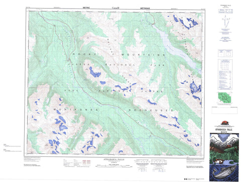
083C12 Athabasca Falls Canada topo map, 1:50,000 scale
083C12 Athabasca Falls NRCAN topographic map.
Includes UTM and GPS geographic coordinates (latitude and longitude). This 50k scale map is suitable for hiking, camping, and exploring, or you could frame it as a wall map.
Printed on-demand using high resolution, on heavy weight and acid free paper, or as an upgrade on a variety of synthetic materials.
Topos available on paper, Waterproof, Poly, or Tyvek. Usually shipping rolled, unless combined with other folded maps in one order.
- Product Number: NRCAN-083C12
- Parent Topo: TOPO-083C
- Map ID also known as: 083C12, 83C12
- Unfolded Size: Approximately 26" high by 36" wide
- Weight (paper map): ca. 55 grams
- Map Type: POD NRCAN Topographic Map
- Map Scale: 1:50,000
- Geographical region: Alberta, Canada
Neighboring Maps:
All neighboring Canadian topo maps are available for sale online at 1:50,000 scale.
Purchase the smaller scale map covering this area: Topo-083C
Spatial coverage:
Topo map sheet 083C12 Athabasca Falls covers the following places:
- Samson Narrows - Athabasca Falls - Sunwapta Falls - 16 1/2 Mile Lake - Antler Lakes - Buck Lake - Evelyn Lakes - Fryatt Lake - Geraldine Lakes - Honeymoon Lake - Horseshoe Lake - Leach Lake - Lorraine Lake - Lower Colefair Lake - Maligne Lake - Moab Lake - Mona Lake - Moose Lake - Osprey Lake - Upper Colefair Lake - Brussels Peak - Divergence Peak - Divergence Peak - Endless Chain Ridge - Kerkeslin Mountain - Leah Peak - Maligne Range - Montagnes Rocheuses - Mount Belanger - Mount Charlton - Mount Christie - Mount Fryatt - Mount Hardisty - Mount Kerkeslin - Mount Lapensée - Mount Unwin - Opal Hills - Queen Elizabeth Ranges - Rocky Mountains - Samson Peak - Winston Churchill Range - Improvement District No. 12 - Jasper National Park of Canada - Parc national du Canada Jasper - Athabasca River - Athabaska River - Divergence Creek - Fryatt Creek - Hardisty Creek - Helmet Creek - Lick Creek - Maligne River - Ranger Creek - Rivière Athabasca - Sunwapta River - Trapper Creek - Whirlpool River - Moberly Bend - Frog Rocks - Evelyn Pass - Little Shovel Pass - Little Snowbowl - Snowshoe Pass - The Snowbowl - Trapper Pass


