
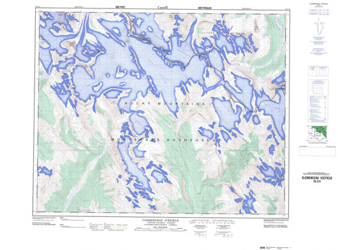
083C04 Clemenceau Icefield Canada topo map, 1:50,000 scale
083C04 Clemenceau Icefield NRCAN topographic map.
Includes UTM and GPS geographic coordinates (latitude and longitude). This 50k scale map is suitable for hiking, camping, and exploring, or you could frame it as a wall map.
Printed on-demand using high resolution, on heavy weight and acid free paper, or as an upgrade on a variety of synthetic materials.
Topos available on paper, Waterproof, Poly, or Tyvek. Usually shipping rolled, unless combined with other folded maps in one order.
- Product Number: NRCAN-083C04
- Parent Topo: TOPO-083C
- Map ID also known as: 083C04, 83C4, 83C04
- Unfolded Size: Approximately 26" high by 36" wide
- Weight (paper map): ca. 55 grams
- Map Type: POD NRCAN Topographic Map
- Map Scale: 1:50,000
- Geographical region: Alberta, Canada
Neighboring Maps:
All neighboring Canadian topo maps are available for sale online at 1:50,000 scale.
Purchase the smaller scale map covering this area: Topo-083C
Spatial coverage:
Topo map sheet 083C04 Clemenceau Icefield covers the following places:
- Apex Glacier - Chaba Glacier - Chaba Icefield - Chaba Icefield - Clemenceau Glacier - Clemenceau Icefield - Columbia Icefield - Columbia Icefield - Columbia Snowfield - Cummins Glacier - Duplicate Glacier - King Edward Glacier - Manitoba Glacier - Ontario Glacier - Shackleton Glacier - Stanley Glacier - Tsar Glacier - Tusk Glacier - Verdun Glacier - Wales Glacier - Wales Glacier - Cummins Lakes - Apex Mountain - Apex Mountain - Chaba Mountain - Chaba Mountain - Chaba Peak - Chaba Peak - Chaba Peak - Cowl Mountain - Duplicate Mountain - Eden Peak - Eden Peak - Listening Mountain - Montagnes Rocheuses - Montagnes Rocheuses - Mount Clemenceau - Mount Ellis - Mount Irvine - Mount King Edward - Mount King Edward - Mount Livingstone - Mount Norton - Mount Rhodes - Mount Shackleton - Mount Somervell - Mount Stanley - Omega Peak - Omega Peak - Pic Tordu - Reconnaissance Ridge - Rocky Mountains - Rocky Mountains - Sundial Mountain - Sundial Peak - Triad Peak - Triad Peak - Tsar Mountain - Tusk Peak - Wales Peak - Wales Peak - Warwick Mountain - Younghusband Ridge - Younghusband Ridge - Columbia-Shuswap Regional District - Improvement District No. 12 - Jasper National Park of Canada - Parc national du Canada Jasper - Athabasca River - Athabaska River - Cummins River - Kinbasket Creek - Kinbasket River - Prattle Creek - Rivière Athabasca - Tsar Creek - Warwick Creek


