
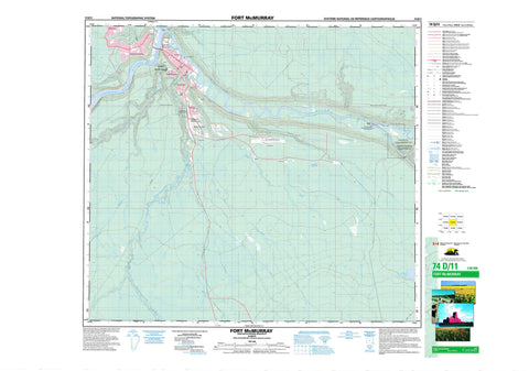
074D11 Fort Mcmurray Canada topo map, 1:50,000 scale
074D11 Fort Mcmurray NRCAN topographic map.
Includes UTM and GPS geographic coordinates (latitude and longitude). This 50k scale map is suitable for hiking, camping, and exploring, or you could frame it as a wall map.
Printed on-demand using high resolution, on heavy weight and acid free paper, or as an upgrade on a variety of synthetic materials.
Topos available on paper, Waterproof, Poly, or Tyvek. Usually shipping rolled, unless combined with other folded maps in one order.
- Product Number: NRCAN-074D11
- Parent Topo: TOPO-074D
- Map ID also known as: 074D11, 74D11
- Unfolded Size: Approximately 26" high by 36" wide
- Weight (paper map): ca. 55 grams
- Map Type: POD NRCAN Topographic Map
- Map Scale: 1:50,000
- Geographical region: Alberta, Canada
Neighboring Maps:
All neighboring Canadian topo maps are available for sale online at 1:50,000 scale.
Purchase the smaller scale map covering this area: Topo-074D
Spatial coverage:
Topo map sheet 074D11 Fort Mcmurray covers the following places:
- Peden's Point - The Snye - Clearwater 175 - McDonald Island - Ritson Island - Rocke Island - Kiskatinaw Lake - Wood Buffalo - Improvement District No. 18 - Fort McMurray Oil Sands Interpretive Centre Provincial Historic Site (Developed) - Moberly Rapids - Athabasca River - Athabaska River - Cameron Creek - Christina River - Clearwater River - Conn Creek - Hangingstone River - Horse River - Little Fishery River - Miller Creek - Prairie Creek - Rainbow Creek - Rivière Athabasca - Saline Creek - Salt Creek - Saprae Creek - The Forks - McMurray - Draper - Fort McMurray - Lenarthur - Lynton - Waterways


