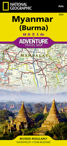
Myanmar (Burma) Adventure Map 3025 by National Geographic Maps
• Waterproof • Tear-Resistant • Travel Map
National Geographics Myanmar (Burma) Adventure Map is designed to meet the needs of adventure travelers with its detailed and accurate information. This map includes the locations of cities and towns with a user-friendly index, a clearly marked road network complete with distances and designations for roads/highways, plus secondary routes for those seeking to explore off the beaten path. Adventure Maps differ from a traditional road map because of the specialty content they include. Each map contains hundreds of diverse and unique recreational, ecological, cultural, and historic destinations - outside of the major tourist hubs. National Geographic Adventure Maps are the perfect companion to a guidebook.
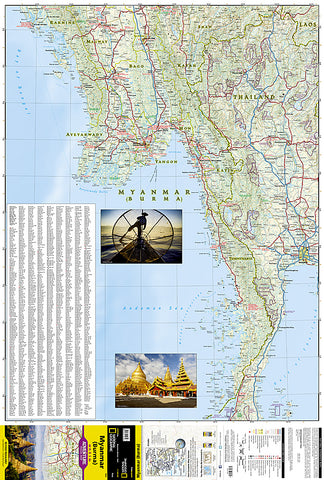
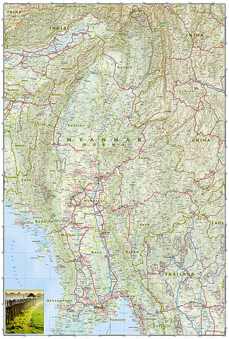
The map covers the long history of Myanmar in great detail. Over the centuries the capital of Burma has moved from Bagan in 1044 to Mandalay and finally to its current location in Yangon (Rangoon). The north side of the map includes the most mountainous area of Myanmar on the doorstep of the Himalayas. It also includes the old royal capital of Mandalay. The south side of the map includes the current capital of Yangon as well as the long border with Thailand and the hundreds of islands of the Myeik Archipelago.
Every Adventure Map is printed on durable synthetic paper, making them waterproof, tear-resistant and tough - capable of withstanding the rigors of international travel.
Map Scale = 1:1,480,000
- Product Number: 2214126M
- Product Code: NG_AM_MYANMAR
- Publisher Product ID: AD00003025
- ISBN: 9781597756235
- Year of Publication: 2015
- Folded Size: 9.45 x 4.33 inches
- Unfolded Size: 36.61 x 24.8 inches
- Map type: Folded Map
- Geographical region: Myanmar (Burma)