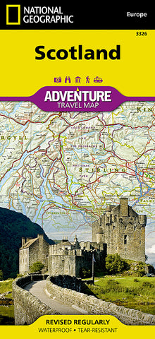


Scotland Adventure Map 3326 by National Geographic Maps
• Waterproof • Tear-Resistant • Travel Map
National Geographics Scotland AdventureMap will meet the needs of Scotlands adventure travelers with its durability and detailed, accurate information. Whether you are hillwalking, taking in the local culture, or testing nerves with an adrenaline-sports option, this is the map to get you there.
The map includes the locations of picturesque places to discover like the white waters of the River Tay, the views around Ben Vrackie, or the mountaintop of Meall-Fuar Mhonaidh, all with a user-friendly index, a clearly marked road network complete with distances and designations for roads/highways, plus secondary routes for those seeking to explore off the beaten path.
Start your adventure at the Cairngorm Plateau, the highest continual expanse of mountainous terrain in the whole of Britain. Visit the village of Dunkeld, a highland gateway village and the ancient capital of Scotland. Along the way youll see the great Loch Ness, castle ruins, and the Orkney and Shetland Islands off the north coast.
National Geographic AdventureMaps differ from a traditional road map because of the specialty content they include. Each map contains hundreds of diverse and unique recreational, ecological, cultural, and historic destinations -- outside of the major tourist hubs. National Geographic AdventureMaps are the perfect companion to a guidebook, yet far easier to pack!
The Scotland AdventureMap is printed in the United States on a durable synthetic paper, making it waterproof, tear-resistant, and capable of withstanding the rigors of international travel.
- Product Number: 2127741M
- Product Code: NG_AM_SCOTLAND
- Publisher Product ID: AD00003326
- ISBN: 9781566956451
- Year of Publication: 2013
- Folded Size: 9.45 x 4.330 inches
- Unfolded Size: 24.8 x 36.61 inches
- Map type: Folded Map
- Geographical region: Miscellaneous