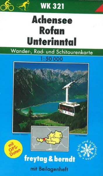
Brixental/Worgl/Kitsbuehel, WK 302 by Freytag-Berndt und Artaria
Folded hiking map of Brixental, Worgl, and Kitzbuhel, Austria. Includes information and index booklet in German. Map legend is in German, French, and English.
- Product Number: 2032035M
- Product Code: FB_WK_50_302
- ISBN: 9783850846820
- Year of Publication: 2002
- Folded Size: 8.27 x 4.72 inches
- Unfolded Size: 25.98 x 31.1 inches
- Map type: Folded Map
- Geographical region: Austria