
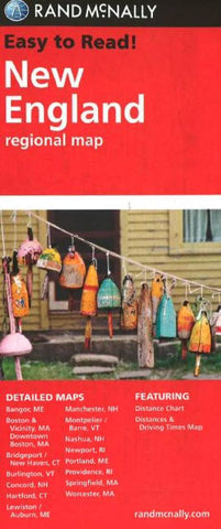
New England, Regional by Rand McNally
Features:
Regularly updated, full-color maps
Clearly labeled Interstate, U.S., state, and county highways
Detail maps of major cities, a mileage chart, and a Mileages & Driving Times Map
Indications of parks, points of interest, airports, county boundaries, and more
Easy-to-use legend
Detailed index
Convenient folded size
Detailed maps of: Bridgeport, CT; Hartford, CT; New Haven, CT; Boston & Vicinity, MA; Boston Downtown, MA; Springfield, MA; Worcester, MA; Bangor, ME; Lewiston, ME; Portland, ME; Concord, NH; Manchester, NH; Nashua, NH; Newport, RI; Providence, RI; Burlin
- Product Number: 2034062M
- Product Code: RM_EASY_NEW_ENG
- ISBN: 9780528881855
- Year of Publication: 2013
- Folded Size: 9.45 x 4.33 inches
- Unfolded Size: 26.38 x 38.58 inches
- Map type: Folded Map
- Geographical region: Northeast USA


